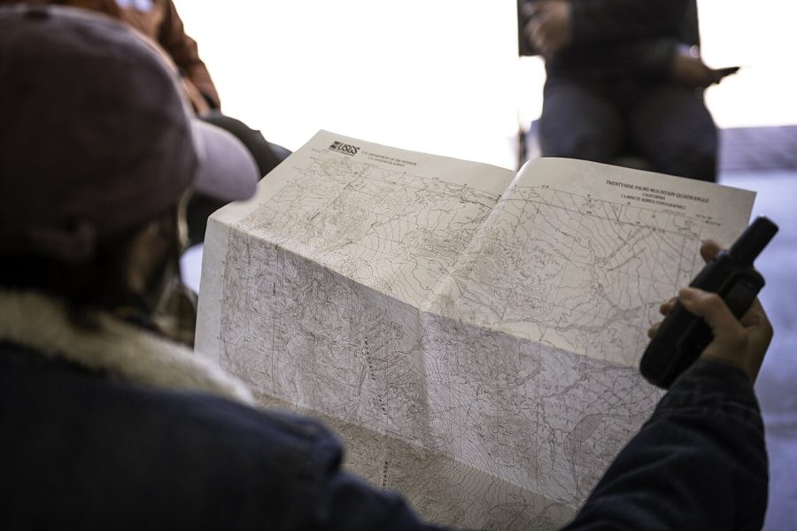
Reading a Topo Map in the Age of GPS

Phones die, signal drops, and the one skill that never runs out of battery is reading a paper map. A topo line is a promise about the terrain, and learning to see it makes you faster and safer.
Start with the three things every line tells you.
- Contour lines close together mean steep, far apart means flat
- V shapes pointing uphill mark a valley, downhill mark a ridge
- The contour interval tells you how many feet each line stands for
Fold the map to your current area and orient it with a compass before you move. Ten minutes of practice at the trailhead saves a long wrong turn later.
Topo maps also save your battery for the moments you truly need it. A quick glance at a folded sheet beats waiting for a GPS lock that never comes in deep cover.